
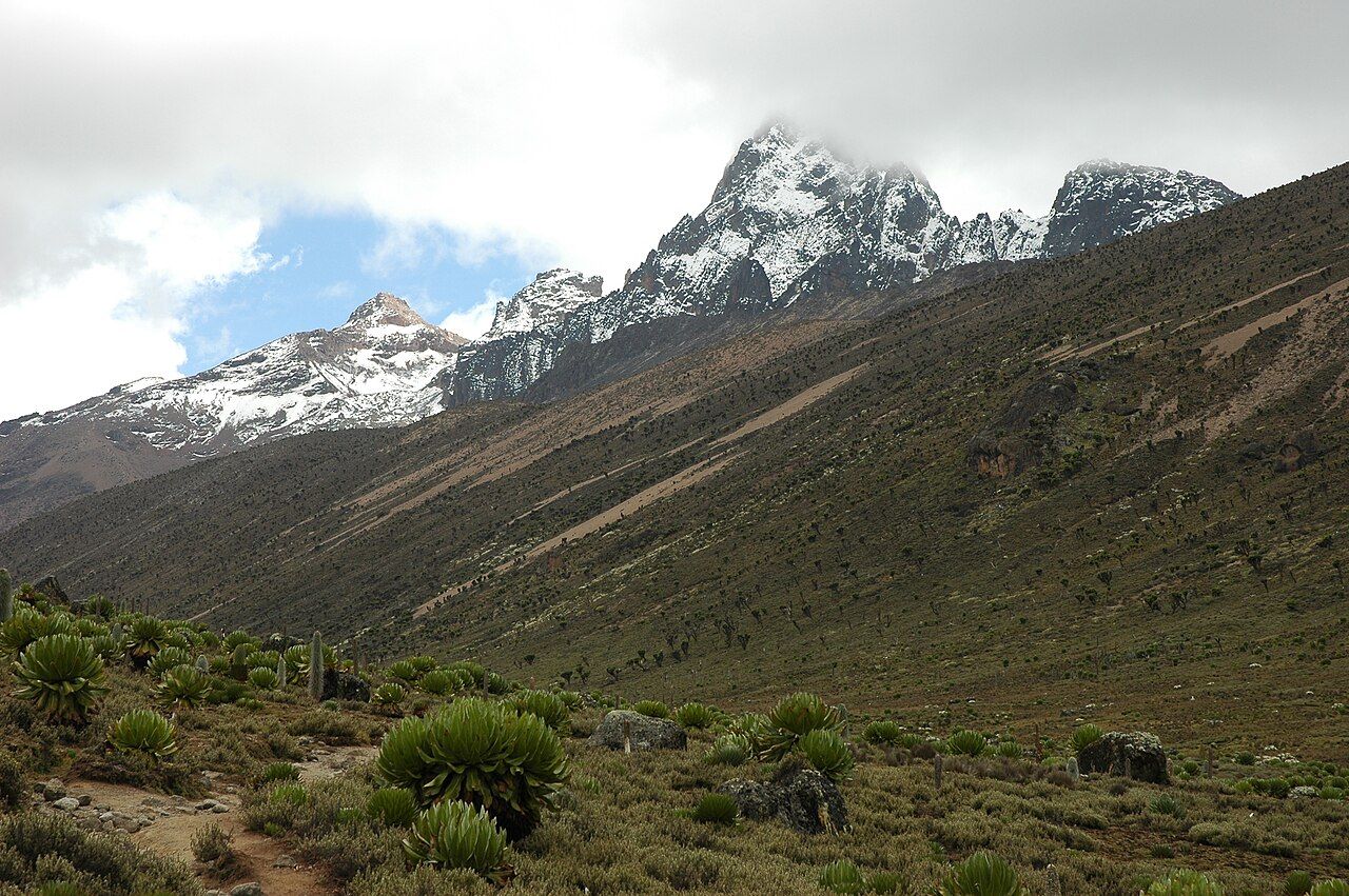
On a clear morning the jagged peaks of Mount Kenya rise above the clouds north of Nairobi, streaked with snow and the remains of glaciers. Below and to the west stretches the Laikipia plateau, open grassland and thorn bush where ranches and community conservancies hold some of the most important wildlife populations in the country outside the national parks.
The mountain
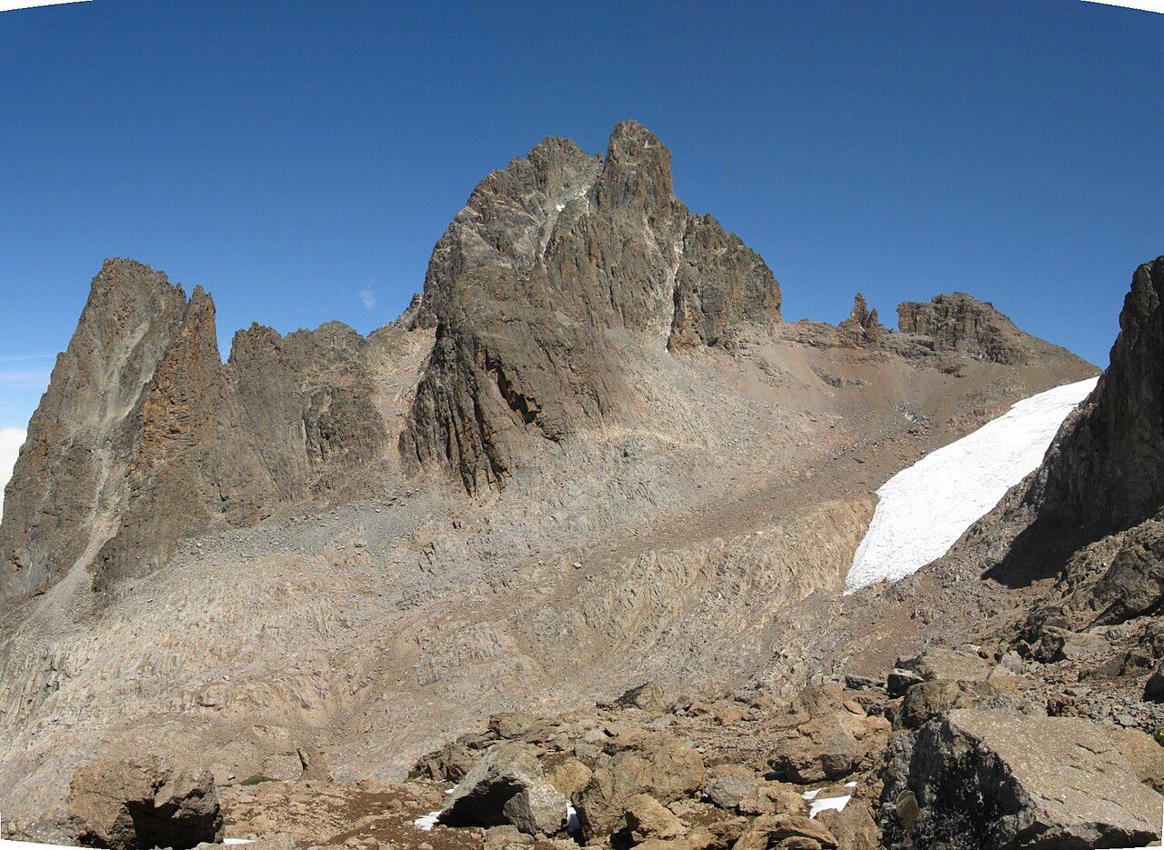
Mount Kenya is an extinct volcano and Africa's second-highest mountain. Its highest peaks, Batian at 5,199 metres and Nelion just below it, are technical rock and ice climbs. Point Lenana, at 4,985 metres, is the summit most trekkers aim for. Several routes approach it, including Sirimon from the north-west, Naro Moru from the west and Chogoria from the east.
Most trekkers take four or five days to go up to Point Lenana and back down, sleeping in huts or tents along the route. It can be done in fewer days, but the faster the climb, the greater the risk from altitude.
The mountain is sacred to the Kikuyu, Embu and Meru peoples, whose farms cover its lower slopes. Its Kikuyu name, Kirinyaga, is often explained as the mountain of brightness. The national park and forest around it, together with neighbouring conservation land, form a UNESCO World Heritage Site.
Zones from forest to ice
Climbing Mount Kenya is a walk through a series of different worlds. Farmland gives way to montane forest, home to elephants, buffalo and colobus monkeys. Above that comes a belt of bamboo, then hagenia and giant heather, and then the Afro-alpine moorland, where giant groundsels and lobelias grow taller than people among tussock grass and cold tarns. Higher still are bare rock, scree and the shrinking glaciers.
On the moorland, watch for rock hyraxes sunning themselves on boulders and sunbirds feeding at the tall lobelia flowers. Nights here are bitterly cold, and the giant groundsels survive by closing their leaf rosettes around their buds after dark.
The glaciers have retreated sharply over the past century and are expected to disappear within decades. The change affects rivers that start on the mountain and the farms and towns that depend on them.
Altitude is the main risk on a trek. Climbing too fast to the high huts is a common cause of altitude sickness, and serious cases need immediate descent. Allow time to acclimatise.
Laikipia's conservancies
Laikipia is a high plateau west and north-west of the mountain, much of it ranching land, private conservancies and community land. Fences are few across the wider landscape and wildlife moves freely. Laikipia holds a large share of Kenya's black rhinos, one of its largest elephant populations outside the national parks, and important numbers of Grevy's zebras, reticulated giraffes and African wild dogs.
The conservancies here vary. Some are privately owned ranches that have turned toward conservation; others are community conservancies run by pastoralist groups, including Maasai and Samburu communities. Many allow walking, horse or camel safaris and night drives, which are not permitted in most national parks. The land also carries tension: drought, grazing pressure and disputes over land with roots in the colonial era have led to conflict in parts of the plateau.
Laikipia also shows how wildlife can come back. African wild dogs, which had all but vanished from much of Kenya, returned to the plateau around the turn of the century and have since spread across it. They range over huge areas and are never guaranteed, but they are seen here more often than almost anywhere else in the country.
Ol Pejeta: rhinos and chimpanzees
Ol Pejeta Conservancy, near Nanyuki, is one of the best-known conservation areas in the region. It holds one of the largest black rhino populations in East Africa, as well as southern white rhinos. It is also home to the last two northern white rhinos, both females, a mother and daughter, and the survival of that subspecies now depends on reproductive science using stored cells and embryos.
Ol Pejeta also runs a sanctuary for chimpanzees rescued from the illegal pet and bushmeat trades elsewhere in Africa. Chimpanzees are not native to Kenya, and the sanctuary gives a home to animals that cannot be returned to the wild. Visitors watch from a viewing area, and it is best approached as a rescue project rather than an attraction. Lions, elephants, cheetahs and buffalo also live on the conservancy, which is fenced but with gaps that let wildlife pass.
The conservancy sets its own rules on driving, viewing and activities, separate from those of the national parks.
The equator line
The equator crosses the main road just outside Nanyuki, marked by roadside signs, and runs on across the plateau. At the roadside, local people often demonstrate water draining one way or the other in a basin on either side of the line. The swirl you see comes from how the water is poured and moved, not from the earth's rotation, which is far too weak to show at that scale. Enjoy it for what it is, and if you watch, it is fair to pay what is asked.
Nanyuki and the airstrips
Nanyuki, the main town for both the mountain and Laikipia, is about 200 kilometres north of Nairobi, roughly three to four hours by road. Small aircraft serve airstrips across the plateau. Weather on the mountain is unpredictable all year, and the long rains, roughly March to May, make trekking harder. The Aberdares lie just to the west, and to the north the road continues toward Samburu and the drier country around Meru.