
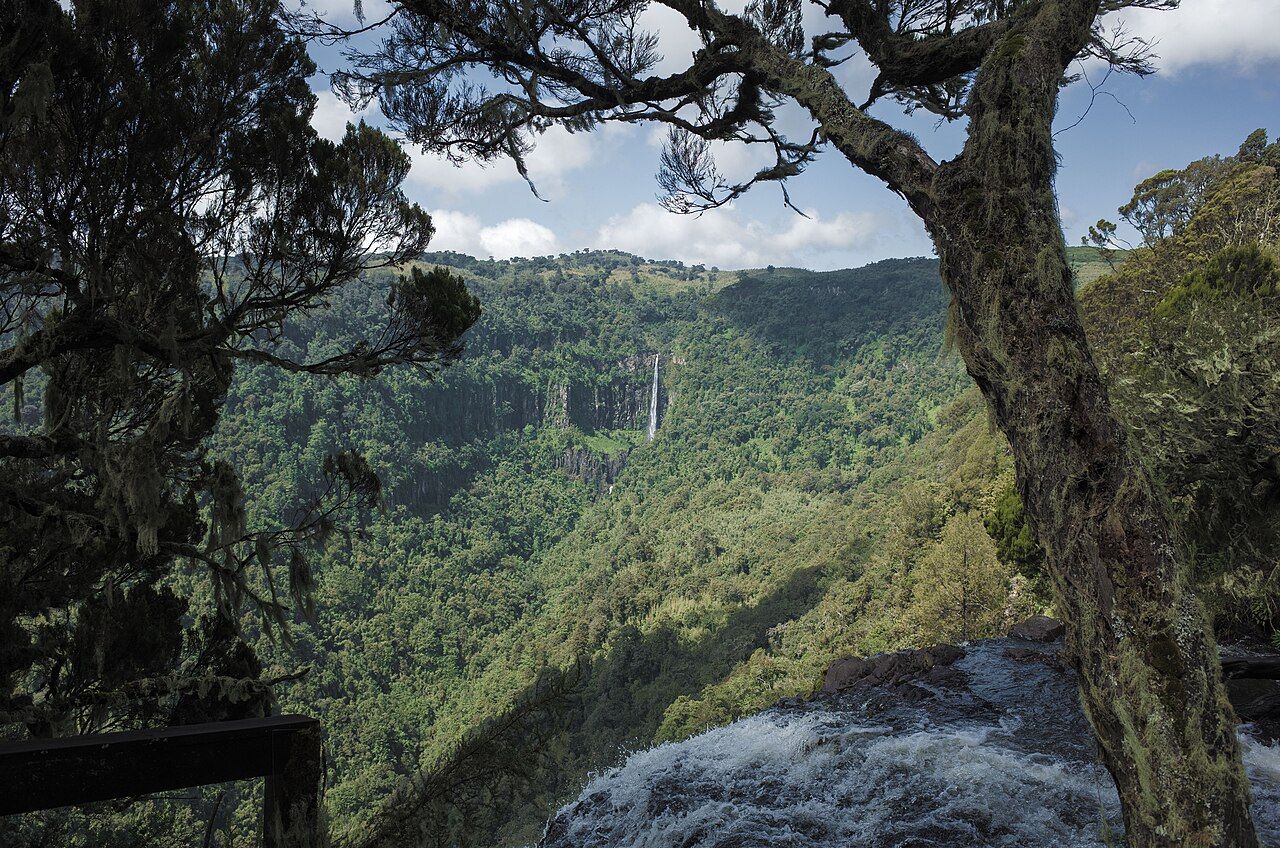
Many visitors to Kenya expect heat and dust. The Aberdares offer the opposite: mist, rain, cold nights and the smell of wet bamboo. The range runs north to south between Nyeri and the Kinangop plateau, west of Mount Kenya, and Aberdare National Park protects its high ground, from dense forest to open moorland at well over 3,000 metres.
It is not a place for easy game viewing. Animals stay hidden in thick growth and the weather closes in quickly. It is a place for landscapes, waterfalls and the quiet of a highland forest.
A high, wet range
The Aberdares are one of Kenya's main water towers. Their slopes catch moisture, and streams flowing off them feed rivers including the Tana, which drives much of the country's hydropower, as well as dams that supply Nairobi. The highest points, Ol Donyo Lesatima in the north and Kinangop in the south, rise to nearly 4,000 metres.
A long electric fence surrounds much of the range. It was built to reduce conflict between wildlife and the farms that press up against the forest edge, and it also helps protect the forest from logging and encroachment.
Farms crowd the lower slopes on both sides of the range, growing tea, coffee, potatoes and vegetables, and the forest edge is a working boundary between wildlife and people. Elephants and buffalo can ruin a harvest in a single night, which is why the fence matters to the communities who live beside it.
Forest and moorland
Driving up from the eastern side, you pass through zones that change with altitude. The lower slopes are montane forest, with tall trees, lianas and ferns. Higher up comes bamboo, so dense in places that it forms walls along the road. Above that lie hagenia woodland and giant heather, and finally the moorland: open tussock grass, streams and bogs, with giant lobelias and groundsels standing like sculptures in the mist.
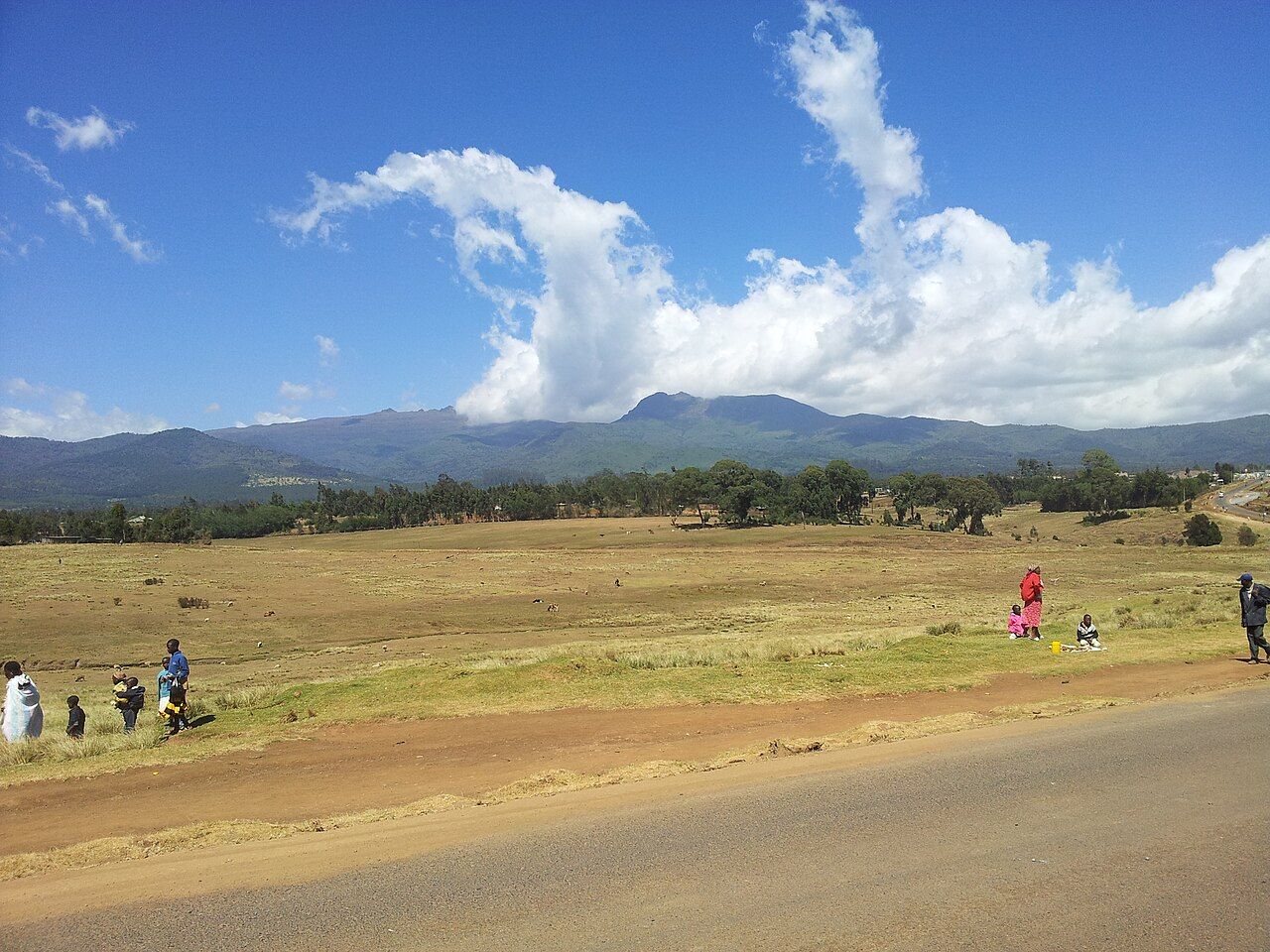
The moorland is one of the best places in Kenya to feel how high and cold East Africa can be. Frost is possible at night. On a clear day you may see Mount Kenya across the valley; on a wet one, cloud can leave you a few metres of visibility.
Karuru and Chania falls
Karuru Falls is usually counted among the highest waterfalls in Kenya, dropping in three steps for a total of around 270 metres into a forested ravine. A short walk from the moorland track leads to a viewpoint above it. Chania Falls, smaller but wide and fast, lies on the river of the same name, and Gura Falls nearby is another long drop seen from a distance.
Viewpoints are close to steep edges, often slippery, and fenced only in places. Stay behind barriers, keep children close and do not climb down toward the water.
The falls are at their fullest after the rains, when the drop is loud enough to hear well before you see it. In the driest months the flow thins, but the ravines and the forest around them are still worth the walk.
Animals of the forest
The Aberdares hold elephants, buffalo, black rhinos, leopards, spotted hyenas, bushbuck, giant forest hogs and black-and-white colobus monkeys, as well as rarities such as the mountain bongo, a forest antelope that very few people ever see. Black servals and black leopards have been recorded here. Most sightings happen in clearings, along the forest edge or at waterholes in the Salient, the eastern spur of the park.
Because the forest is dense, animals may be close before you notice them. Buffalo and elephants are the main hazard. Do not leave your vehicle except at designated places, and take blind corners on narrow tracks slowly.
The moorland streams were stocked with trout in colonial times, and fishing has been allowed with a permit. Walking on parts of the moorland is possible only with an armed ranger; ask at the gate what is currently allowed and arrange it in advance.
The forest in the 1950s
In the 1950s the Aberdare forest became one of the main bases of the Mau Mau uprising, a revolt against colonial rule and the loss of land in central Kenya. Fighters lived in the forest for years, some in caves, while the colonial government declared a state of emergency, fought a harsh campaign and detained very large numbers of Kikuyu people in camps. Dedan Kimathi, one of the movement's leaders, was captured near the forest edge in 1956 and executed the following year.
The conflict cost many thousands of lives, most of them Kenyan, and its legacy is still discussed in Kenya today. Some places in and around the park carry that history, including caves associated with the fighters. They are a reminder that the forest is not only a wildlife area but a place bound up with the country's road to independence in 1963.
From Nyeri to the eastern gates
Most visitors come from Nyeri, about three hours from Nairobi, and enter by one of the eastern gates, while western gates connect with the Naivasha side. Roads inside are unpaved and steep, and the moorland tracks can become impassable after rain; a four-wheel-drive vehicle is essential and sections may close. Rain can fall in any month, and is heaviest in the long rains, roughly March to May.
The Aberdares pair naturally with Mount Kenya and Laikipia to the east and with Lake Naivasha to the south-west. Bring the warm layers you might not expect to need in Kenya; you will use them.