
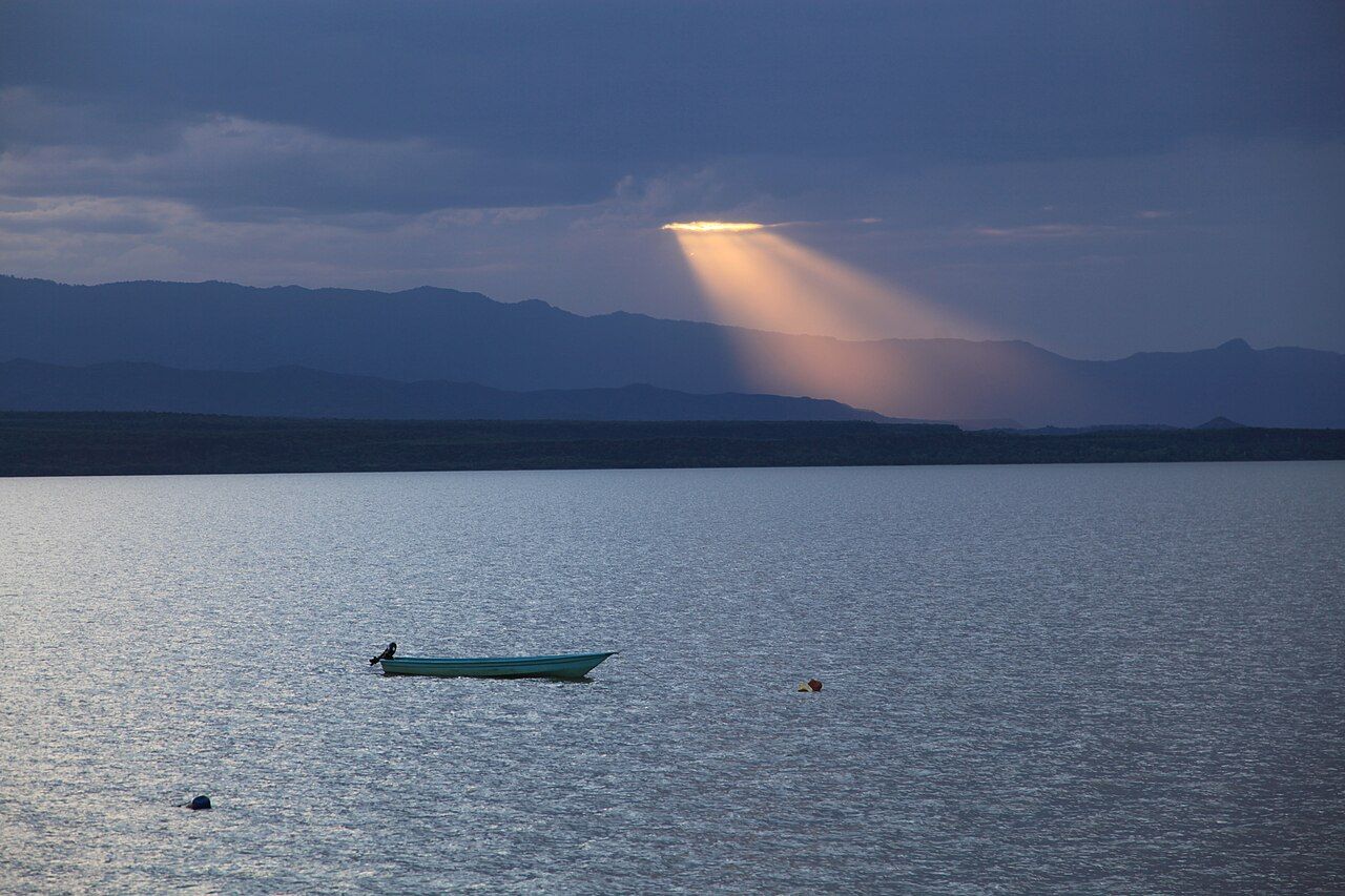
North of Nakuru the Rift Valley floor drops lower and grows hotter, and the green highlands give way to thorn scrub and red cliffs. Here two lakes lie less than an hour apart by road, and they could hardly be more different. Lake Baringo is fresh, brown with silt, ringed by fishing villages and loud with birds. Lake Bogoria is salty and alkaline, fed by hot springs that boil out of its western shore.
Two lakes, two characters
Baringo is one of only two freshwater lakes in Kenya's Rift Valley, the other being Naivasha. Rivers from the surrounding hills feed it, and water seeps out underground. Since around 2010 it has risen sharply, swallowing shoreline buildings, farms and roads. The rise has displaced many families and is a reminder that these lakes are changing in ways nobody fully predicted.
Both lakes sit low on the Rift floor, around 1,000 metres, far lower than Nakuru or Naivasha, and the difference is felt at once. Afternoons are hot and still, the light is hard, and life around the water starts early and slows down by noon.
Bogoria, to the south, sits in a narrow basin under a steep escarpment on its eastern side. It is a soda lake, like Nakuru, and its shores are protected as a national reserve. Bogoria is one of the three lakes in the Kenya Lake System World Heritage Site, along with Nakuru and Elmenteita.
Baringo's birds
Baringo is well known to birdwatchers. Several hundred species have been recorded around the lake, from fish eagles and goliath herons on the water to hornbills, barbets, starlings and weavers in the acacia scrub, and owls and nightjars around the cliffs. Early morning is best, before the heat sets in, and local bird guides are skilled at finding species that visitors would miss.
A walk with a guide along the base of the cliffs and through the acacia scrub near the shore is one of the best ways to spend an early morning here. Many birds that are difficult elsewhere in Kenya are found in this dry bush, and the guides know their calls well. Bring binoculars and a field guide, and expect to cover very little ground in two or three hours.
A boat trip on the lake is the usual way to see the water birds and the hippos and crocodiles that live in it. Keep a fair distance from hippos, and ask boatmen not to throw fish for the eagles: birds lured with food become a show, and it changes their behaviour.
Fishing communities
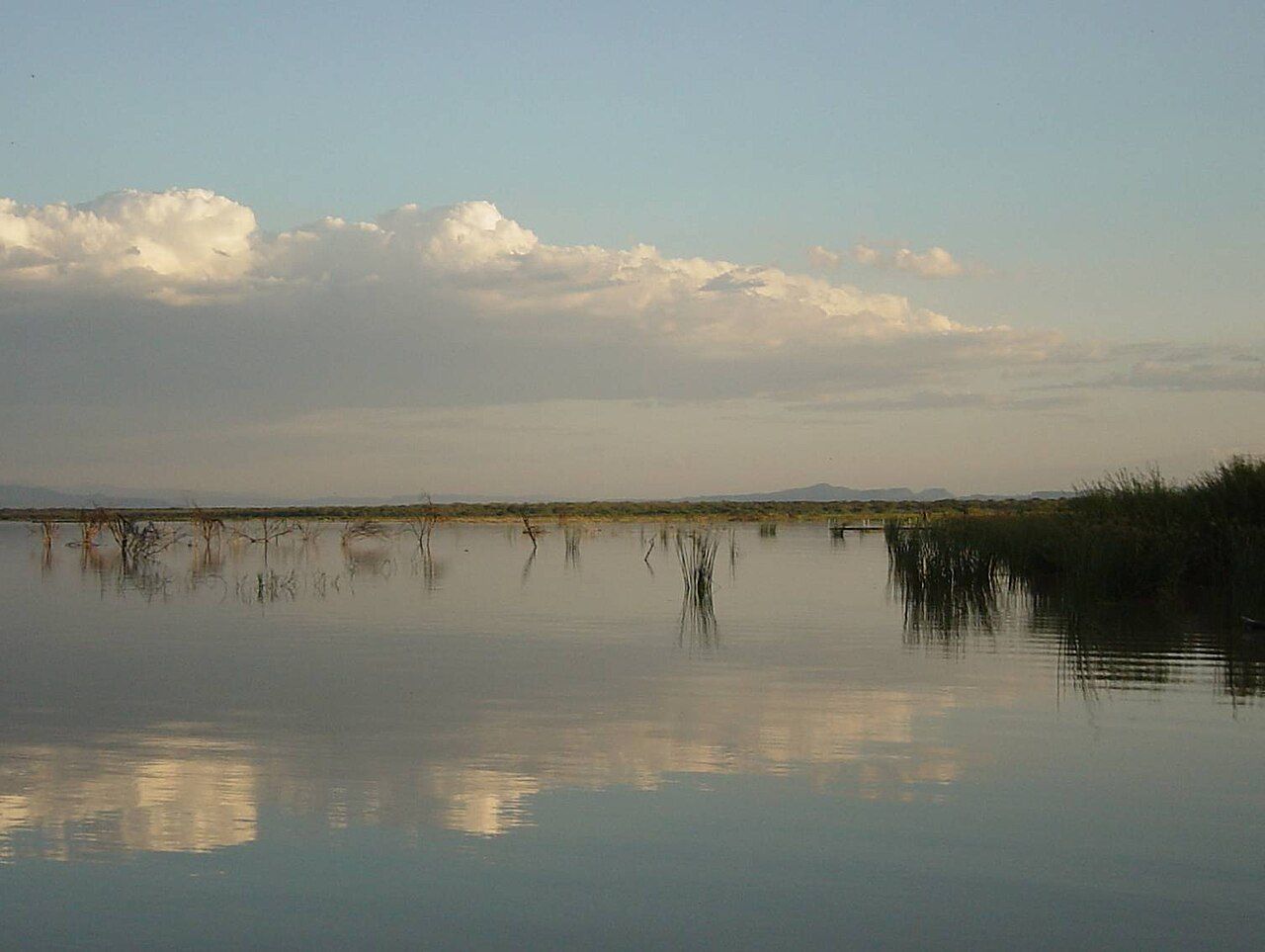
The shores and islands of Baringo are home to several communities, including the Il Chamus, sometimes called Njemps, with Pokot and Tugen communities in the surrounding hills. Fishing, livestock and small-scale farming are the main livelihoods. Some fishermen still use small rafts and canoes made from light ambatch wood, paddled while the fisher sits low in the water.
The rising lake, drought and insecurity in parts of the wider county have made life hard for many families in recent years. If you visit a village or buy fish, do so on terms that people set themselves, ask before photographing anyone, and accept a no.
Bogoria's hot springs and geysers
On Bogoria's western shore, at a place called Loburu and at points further along the shore, hot water bursts from the ground. Some springs bubble quietly; others spout as small geysers a metre or more high, in clouds of steam that smell of sulphur. Mineral deposits stain the ground orange, white and green.
The springs are beautiful and dangerous. The water is near boiling, the crust around the vents can be thin, and people have been badly scalded here. Stay on firm, marked ground and keep children close.
The land around Bogoria is the ancestral home of the Endorois, a pastoral community who were moved off it when the reserve was created in the 1970s. In 2010 the African Commission on Human and Peoples' Rights found that their rights had been violated and recommended that they regain access to the land and share in its benefits. How that is carried out is still being worked out, and it is worth knowing as you drive in.
Between the lakes
The road between Baringo and Bogoria passes through Marigat and dry country of acacia, aloe and termite mounds, with hills rising on both sides of the valley. Goats and cattle graze along the roadside, and in the wet season seasonal rivers can flood the crossings. The drive is short, but it is worth taking slowly, with stops for the views back over the valley floor.
Flamingos and kudu
Like Nakuru, Bogoria grows the algae that lesser flamingos eat, and at times it has held some of the largest flamingo gatherings in East Africa, pink across the shallows. As on every soda lake, numbers rise and fall with conditions; on some visits there are many, on others only a scattering.
The reserve is also one of the few places in Kenya where greater kudu are seen with some regularity, on the bushy slopes toward the southern end of the lake. The males' spiral horns are unmistakable. Zebras, dik-diks and klipspringers are present too.
Via Nakuru and Marigat
From Nairobi the road runs via Nakuru and the town of Marigat, about four to five hours in total. The lakes pair well with Nakuru and Naivasha on a Rift Valley route, or with the drier country further north, depending on road conditions and advisories. Daytime temperatures are high, so start early, carry water and rest through the middle of the day. Reserve fees and rules are set locally. Our page on the seasons explains how the rains affect roads across the country.